Agriculture
- Home
- / Services
- / Agriculture
About the Service
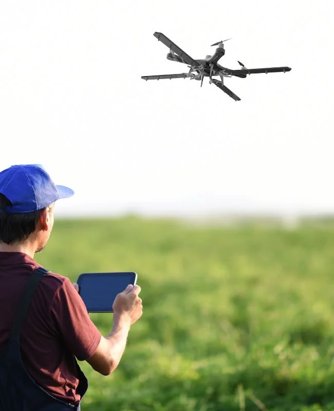
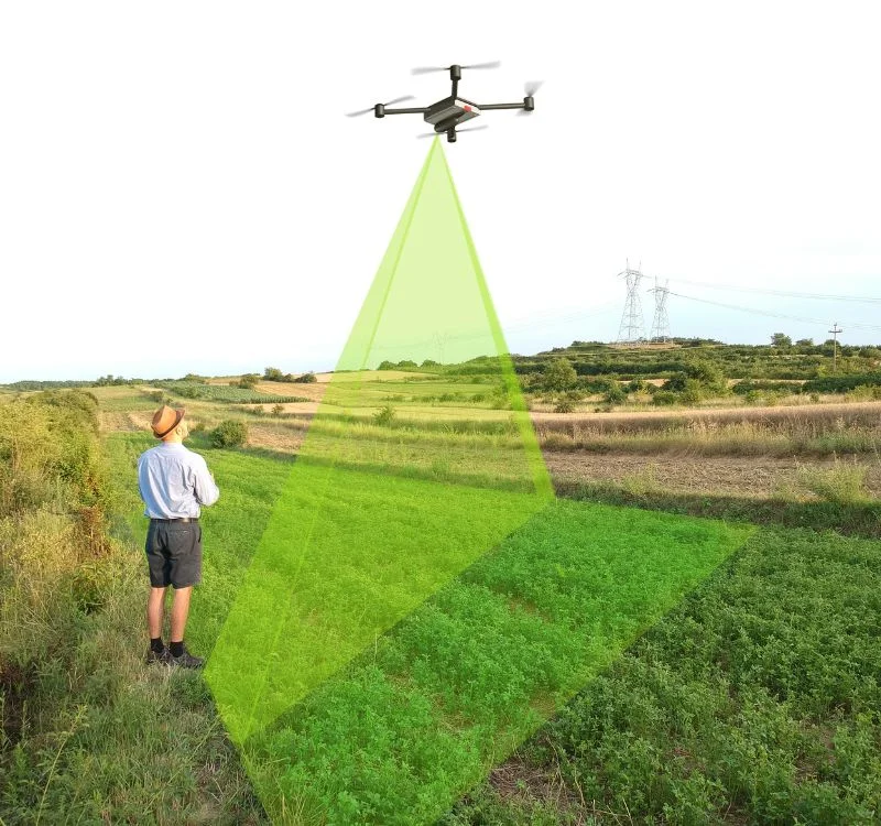
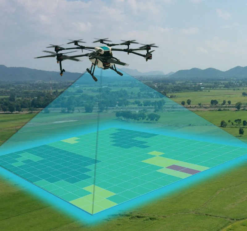
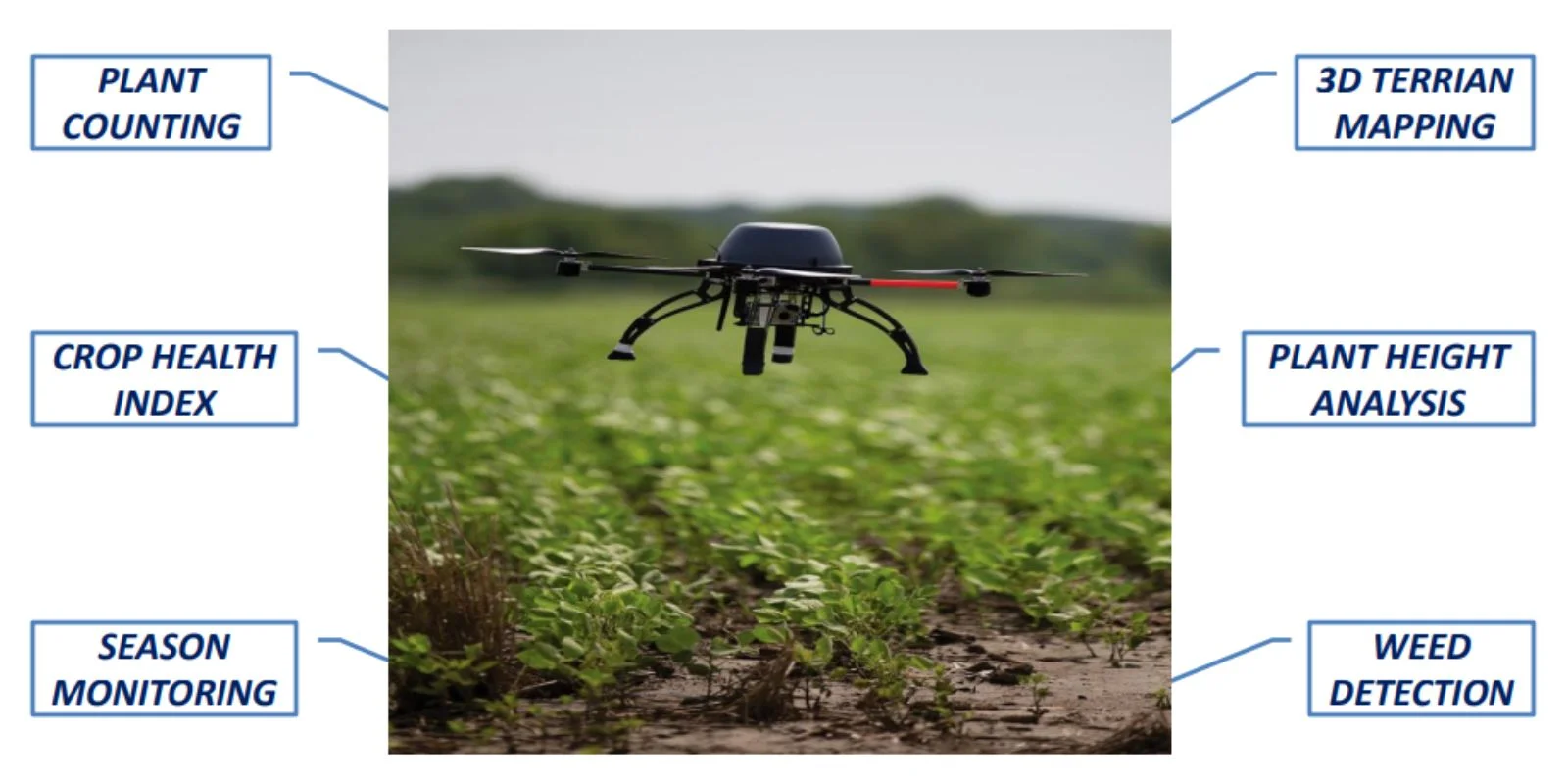
In agriculture survey the drone generate index maps such as NDVI. By using the equipment Multi Rotor Drone Or Fixed Wing
Drone with the suffice camera that provide qualitative data.
So these are some agricultural tasks and operations that drone does. Gives a accurate & precise data that will help the government
to analysis, insure or very useful if there is any natural calamity after that its very easy to calculate how much the loss is & how to
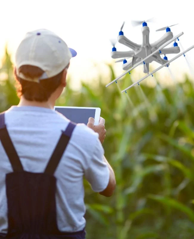
compensate it. There may be more uses in agriculture like sprinkling the pesticides on crop by using the drone, etc.


