Environmental Studies
- Home
- / Services
- / Environmental Studies

Safeguarding our world with accurate aerial data:
Drone (or UAV/UAS) technology suits a myriad of conservation and environmental protection applications —
offering quick, easy and cost-effective aerial imagery, on demand. From glacial feature modeling and erosion
monitoring to animal counting and species identification, the list of projects that drones are being used for is long and
continues to grow. There are many reasons why professionals such as environmental engineers and scientific
researchers are increasingly using drones, often in place of terrestrial surveying equipment or traditional aerial
imaging services.
The benefits these professionals often mention include:
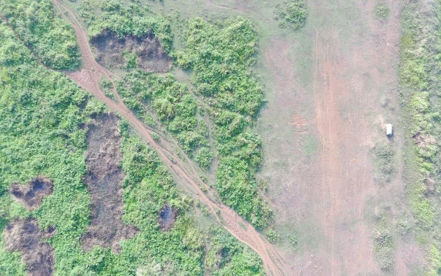
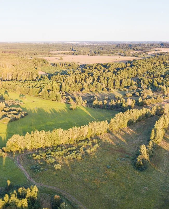
Flexibility, Timely, Efficient, Cost-effective, Discrete, RGB cameras (left image above), Near-infrared (NIR), Rededge (RED) & multispectral cameras (centre image above) Thermal cameras (right image above)


