Land Planning Survey
- Home
- / Services
- / Land Planning Survey

UAS and Surveying
UAS comes with two types that can be used for surveying.
The first type is a fixed wing model which is suitable for one-man operations. It can be used for aerial mapping, topographic
surveys, and terrain modelling large areas; for instance, stock piles and mine sites.
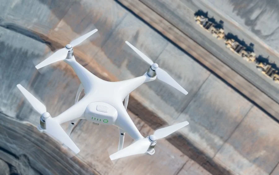
The second type is the propeller-based system or a rotary blade. It can fly in any direction or in a fixed position. It is suitable for
thorough inspections and surveying areas that are hard to reach like bridges, power lines, and pipelines.
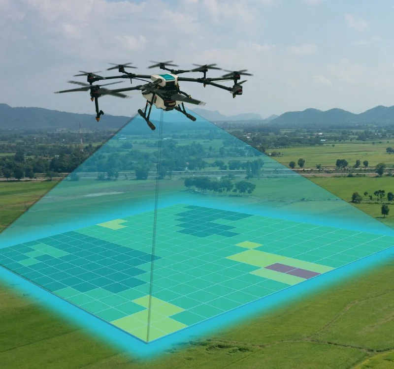
UAS gives data for land planning department as per the GIS based map so by using UNMANNED AERIAL SYSTEMS the land
planning survey is very easy to do.


