Mapping Purposes
- Home
- / Services
- / Mapping Purposes

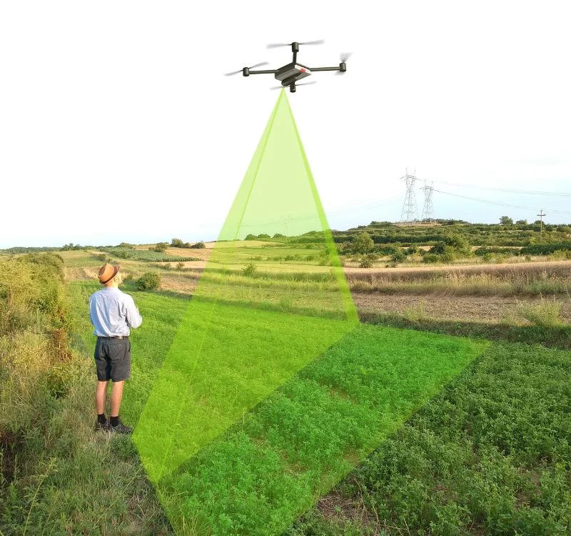
Using drones for mapping:
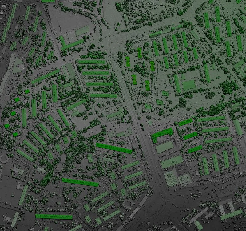
Easily Create Georeferenced Maps:
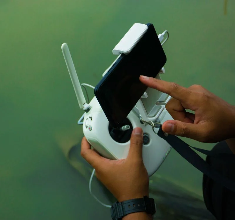
Outline the area you want to survey on your tablet, and the Site Scan will be automatically executes the flight, capturing the images
you need to create 2D/3D & digital elevation models. The images are automatically georeferenced and then processed in the cloud.
With GPS-equipped drones, digital cameras and powerful computers, surveys with an accuracy down to 1 to 2 cm is very possible.

