Mining & Forest
- Home
- / Services
- / Mining & Forest

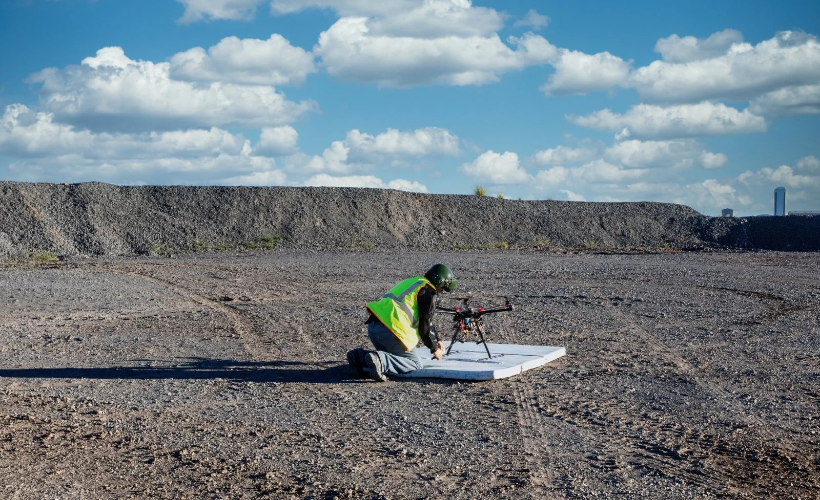
Mining
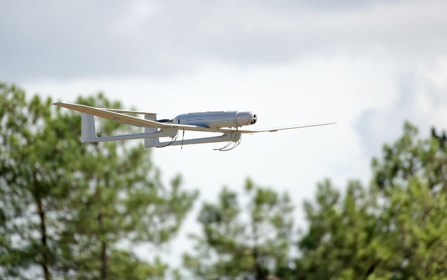
Important Points of Mining Survey using drone are as follows:
Measure and Digitize
• Use accurate, geo-referenced DSMs to conduct volume measurements, create contour lines, and digitize models for break lines.
Accurate Results
•Ensure you reach your standard of accurate quality report with the help of drone survey.
Mining Software Compatibility
•Ortho mosaics, digital surface models, contour lines and 3D models output compatible with industry standard software as Maptek
I-Site and Vulcan.
Forest
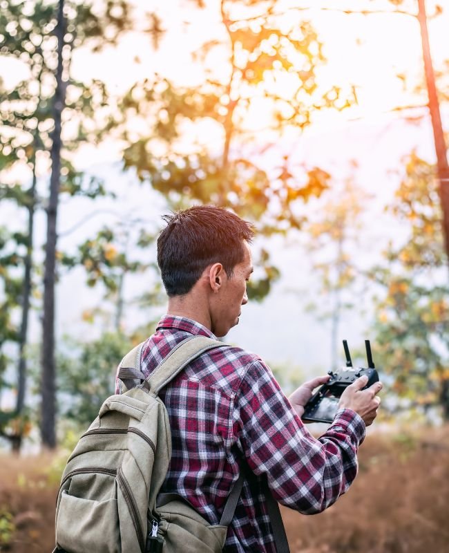
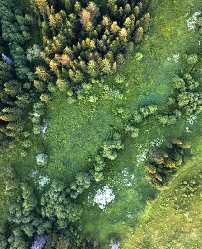
Using drone technology for forest survey is very necessary as the current conditions of the forest are very poor as compare to last
few decades. To save natural habitat or to save different species of Plants, Trees, Birds & Animals the UAS’s Survey in forest is very
important.


